
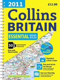
This road atlas with popular lie-flat spiral binding features clear, detailed road mapping, at a scale of 3.2 miles to 1 inch, with land height shown by attractive layer coloring. There are also a wide range of urban area maps at even larger scale as well as fully indexed street maps of 63 town centers. The atlas includes 21 urban area maps at a larger scale which clearly show the best routes through and into the busiest built-up-areas; fully updated fixed speed camera sites with the roads covered by average-speed cameras clearly highlighted; a map showing the risk rating of Britain's major roads, courtesy of the Road Safety Foundation; World Heritage Sites located with contact details and brief descriptions; more than30 categories of places of interest including castles, theme parks, sports venues, universities, mountain bike trails, and surfing beaches; and the top 1,000 most visited places of interest are indexed with full zip codes to aid integration with satellite navigation systems.